
Welcome to our latest
3-2-1 newsletter

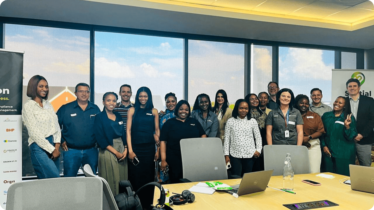
2025 Gauteng Landfolio Group Meeting
We were thrilled to host our 2025 Gauteng Landfolio Group Meeting at Seriti's head office in Johannesburg, South Africa, last week.
The event brought together our Landfolio user community from across the province for fresh insights and peer networking. It’s always a pleasure to connect in person and we look forward to meeting everyone at our next event!
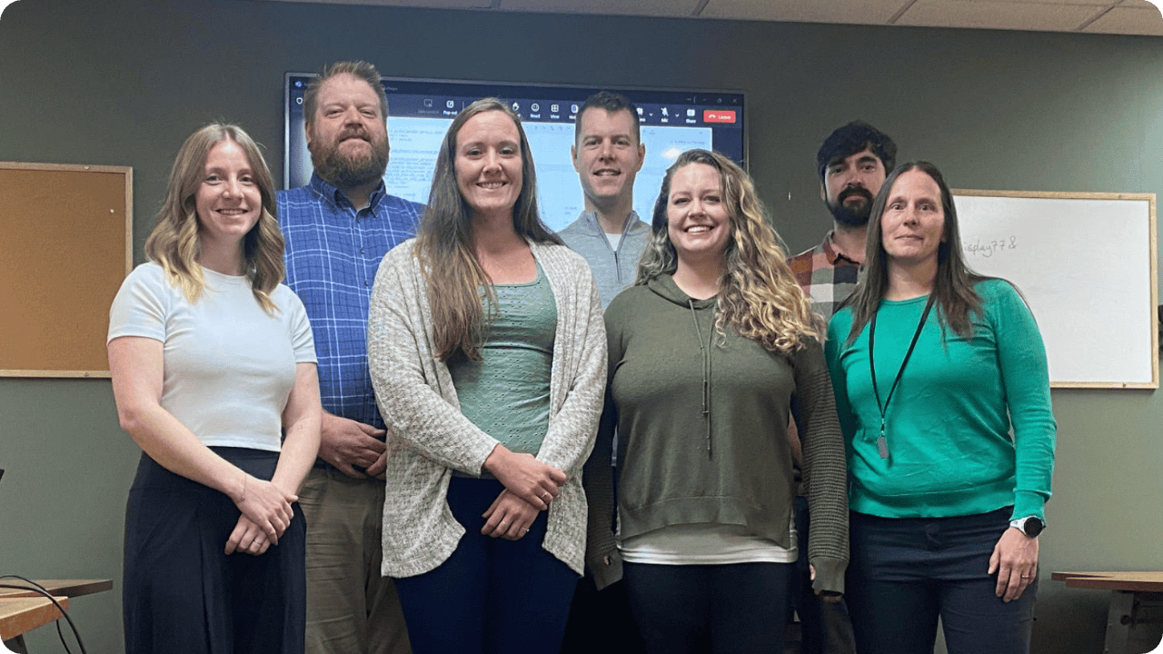
Our Global Network and Local Impact in Yellowknife
Spatial Dimension’s Phil Cramer and Heather Judd recently joined our longstanding partner, Aurora Geosciensces, to lead the implementation of Landfolio for the provincial mining authority in Northwest Territories, Canada.
This partnership showcases the power of our global partner network to combine local insight with the proven capabilities of Landfolio to deliver tailored solutions wherever our clients operate.
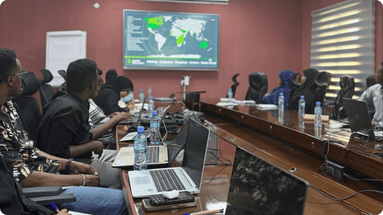
Supporting Sustainable Development in Somaliland
Our team recently traveled to Hargeisa, Somaliland to support discussions around implementing a modern, online mining cadastre system.
Led by Glenn Matthews, the sessions focused on how Landfolio eSuite strengthens transparency, governance and sustainable development in the region’s mineral resources sector.

Côte d’Ivoire Launches Mining e-Cadastre on Landfolio eSuite
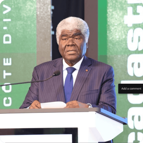
Côte d’Ivoire officially launched its Mining e-Cadastre portal on Landfolio eSuite, presided over by Prime Minister Dr. Robert Beugré Mambé, with Benjamin Weinheimer from Spatial Dimension attending the event in Abidjan.
“It is wonderful to see our long-time customers migrate from back office-only implementations to full e-Government solutions powered by Landfolio eSuite. Wonderful and humbling in equal measures,” said Spatial Dimension’s Chief Executive Officer, Bill Feast.
This collaboration with our partner, Soatech, marks a new milestone for the country’s commitment to EITI compliance, modernising its mining sector and attracting global investment.
Indonesia Suspends 190 Mining Permits
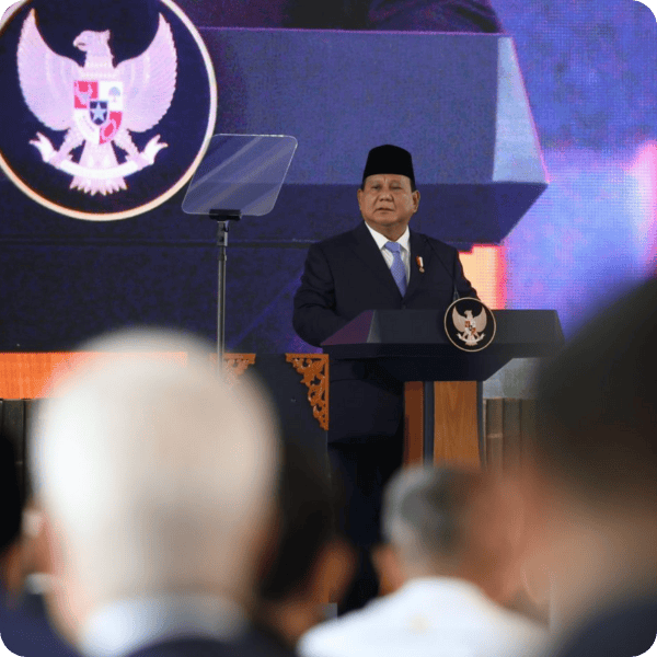
Indonesia’s suspension of 190 mining permits due to non-compliance with land rehabilitation and production quotas is a reminder that falling short on regulatory obligations can come at a steep cost.
With Landfolio, mining operators can proactively manage their licences and permits— avoiding costly disruptions, ensuring compliance and staying audit-ready. Let’s talk about how we can support your team.

Spatial Dimension is now a proud Esri Gold Partner!
For over two decades, we have integrated Esri's ArcGIS technology into every Landfolio implementation, giving our clients industry-leading geospatial capabilities to visualise and manage their land assets.
This achievement marks an exciting new chapter in our partnership with Esri and we look forward to driving even greater success together.
If you’re heading to the 2025 Southern Africa Esri User Conference, be sure to connect with us there!