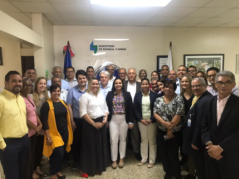
The General Mining Directorate of the Dominican Republic has signed a contract for the acquisition of a new mining cadastre system.
Read more
Dominican Republic Mining Cadastre System
In October 2019, Spatial Dimension was awarded a contract to implement the new Mining Cadastre System for the General Directorate of Mining of the Dominican Republic.
The new Mining Cadastre System, capable of fully managing digitized information, is integrated with different departments of the General Mining Directorate, thus facilitating information processing, reporting, and improving communication between departments through integrated processes.
Cadastral data is published to the public-facing Dominican Republic Mining Cadastre Map Portal where stakeholders can consult concessions data, including applications and granted concessions, evaluate available areas, and download relevant GIS data (Shapefiles).
Visit the Dominican Republic Mining Cadastre Map Portal


