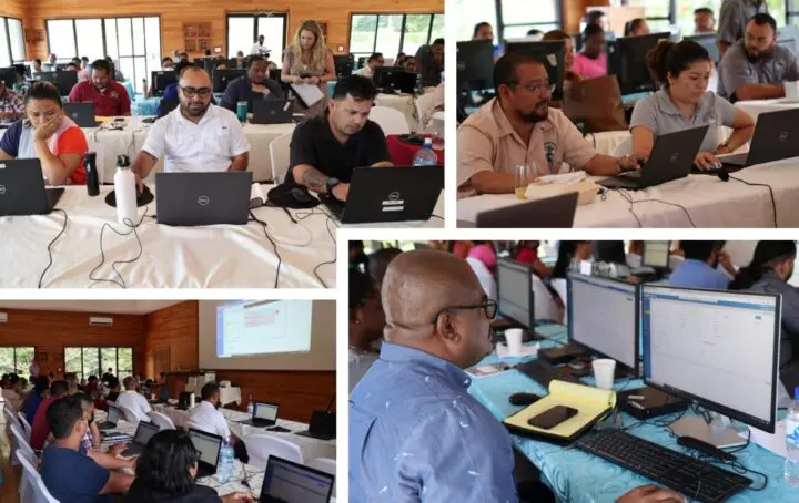
The Trimble [Spatial Dimension] staff associated with the project have brought key best practices and strong technical capacities as well as a wealth of experience from their respective land-related fields for the implementation of the project.
The application of Landfolio has met the Anguilla DLS' expectations to deliver a state-of-the-art Land Information System to serve the Government of Anguilla and its people.


